2013
ROUTE N16. PUBLIC PLACES FOR PRIVATE EXPERIENCE
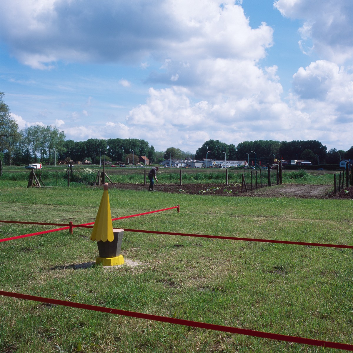
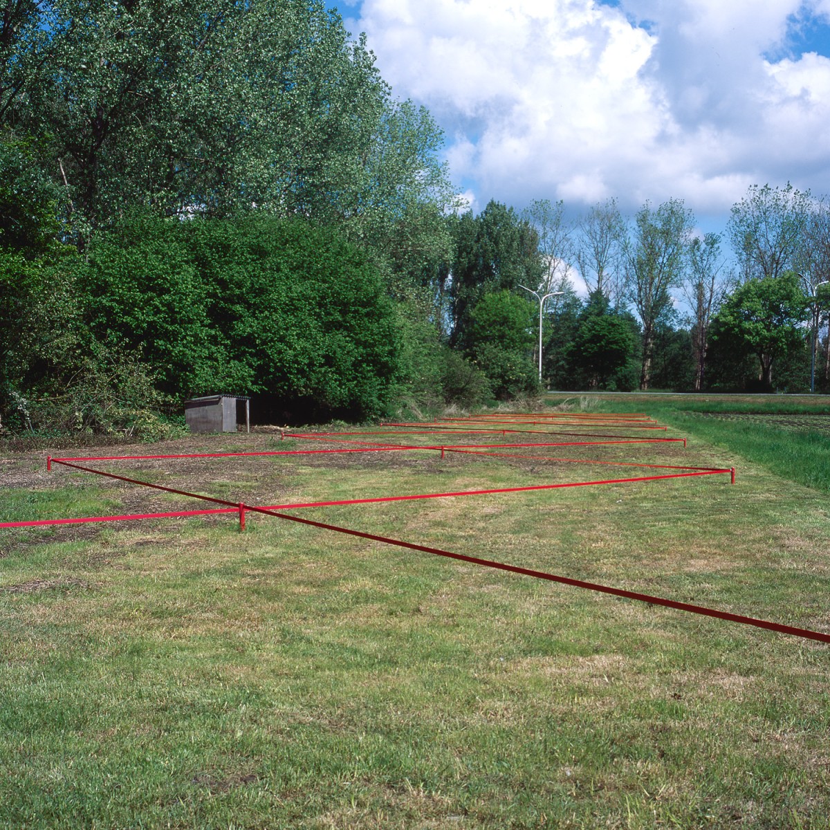
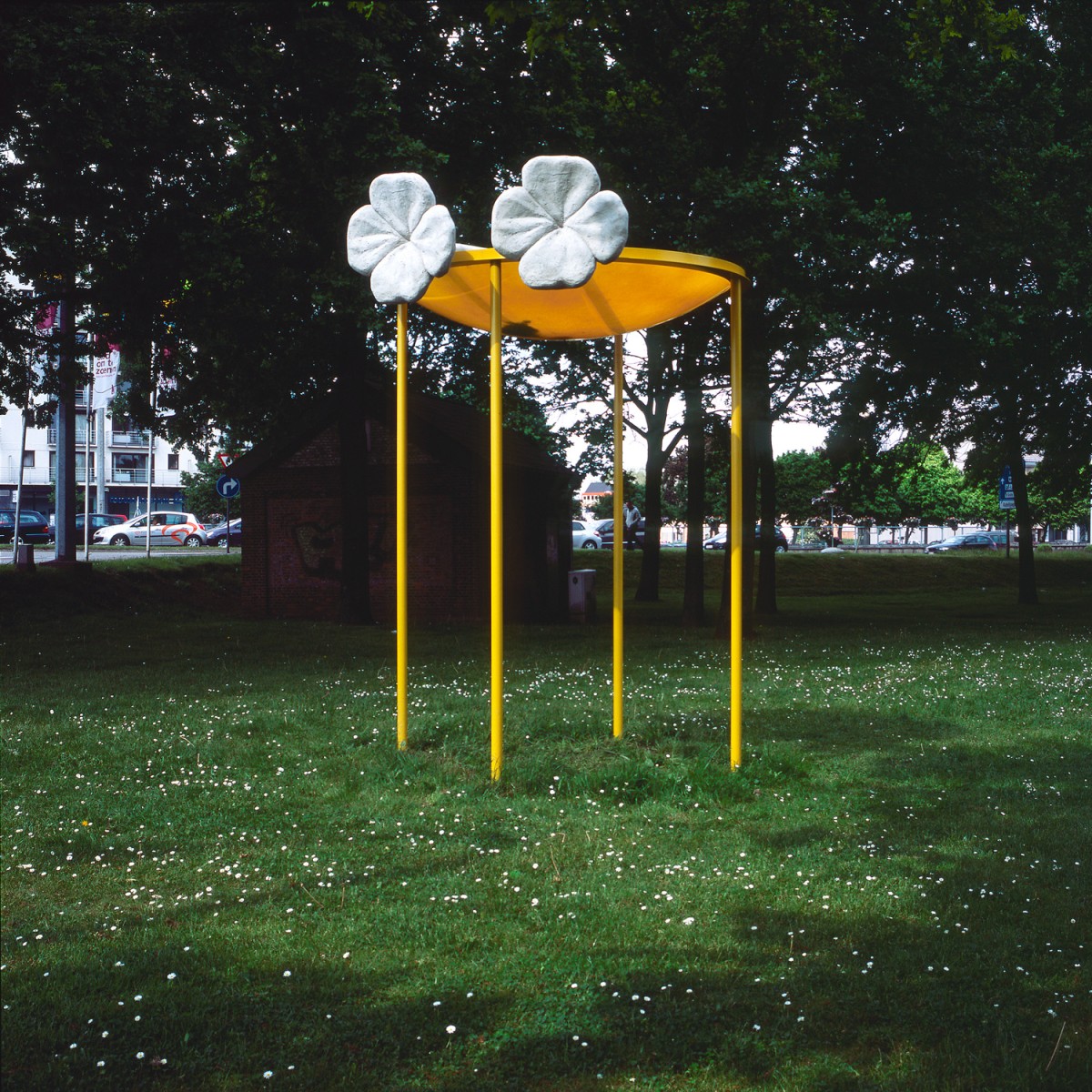
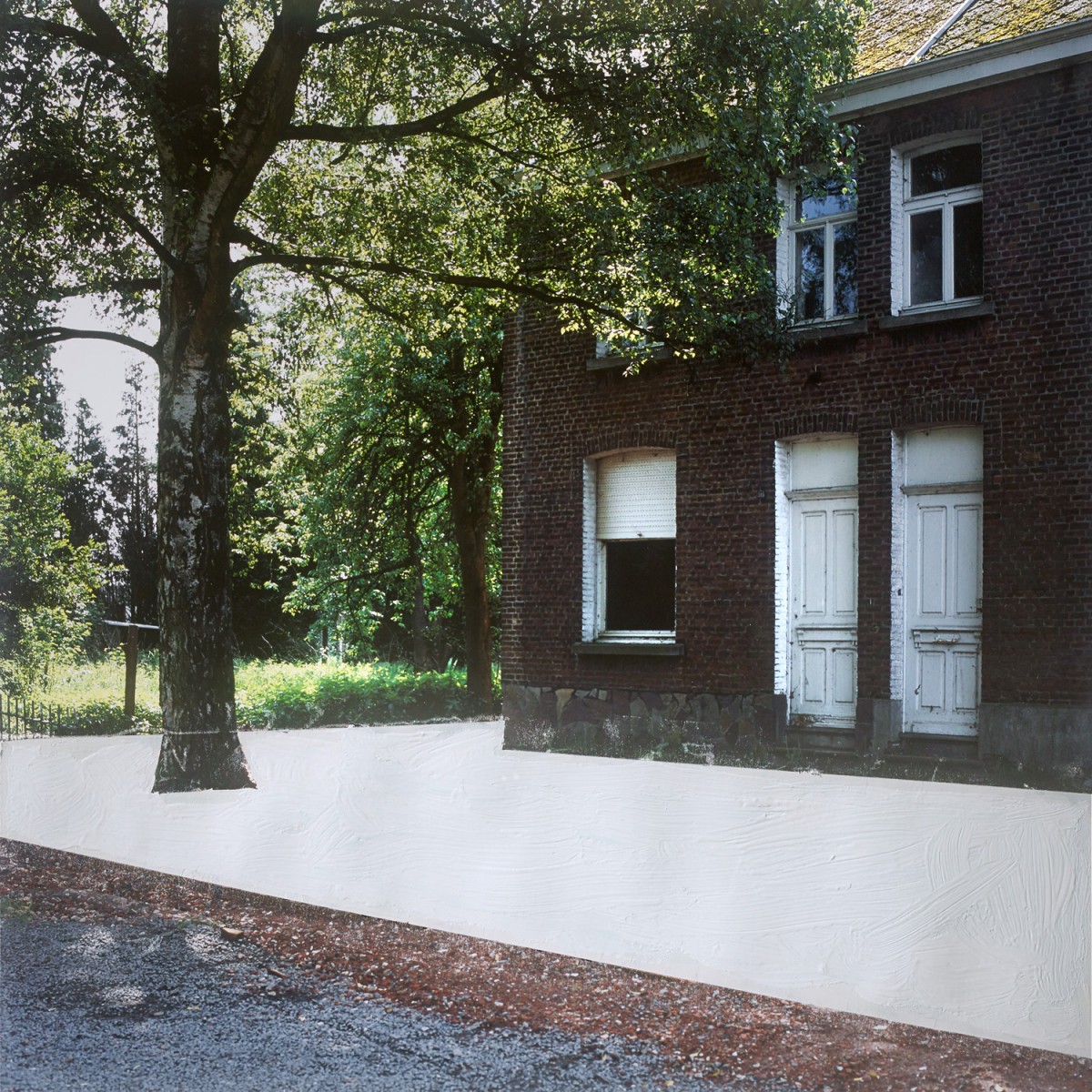
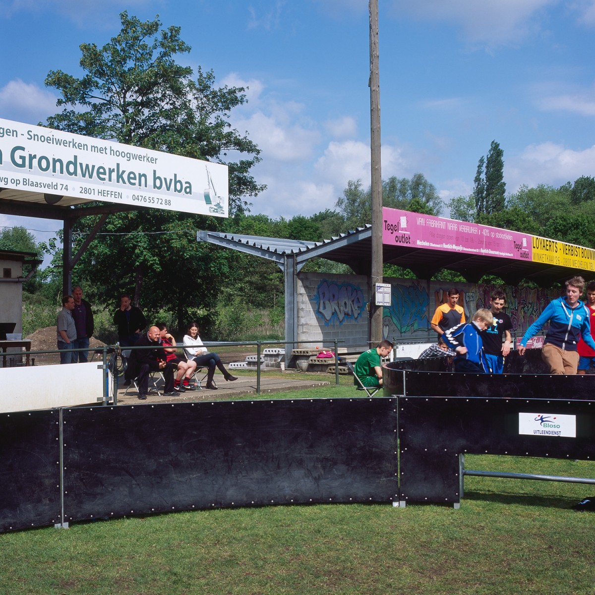
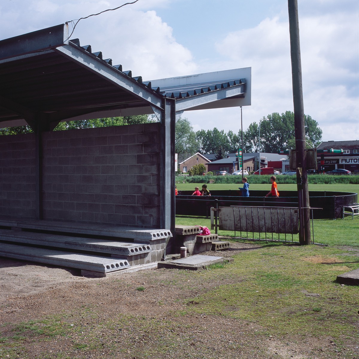
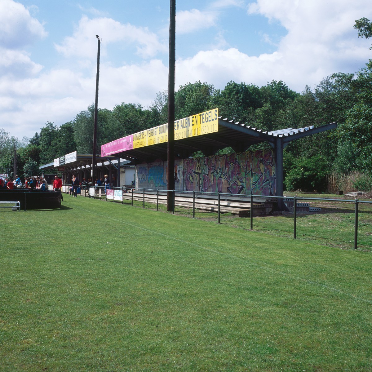
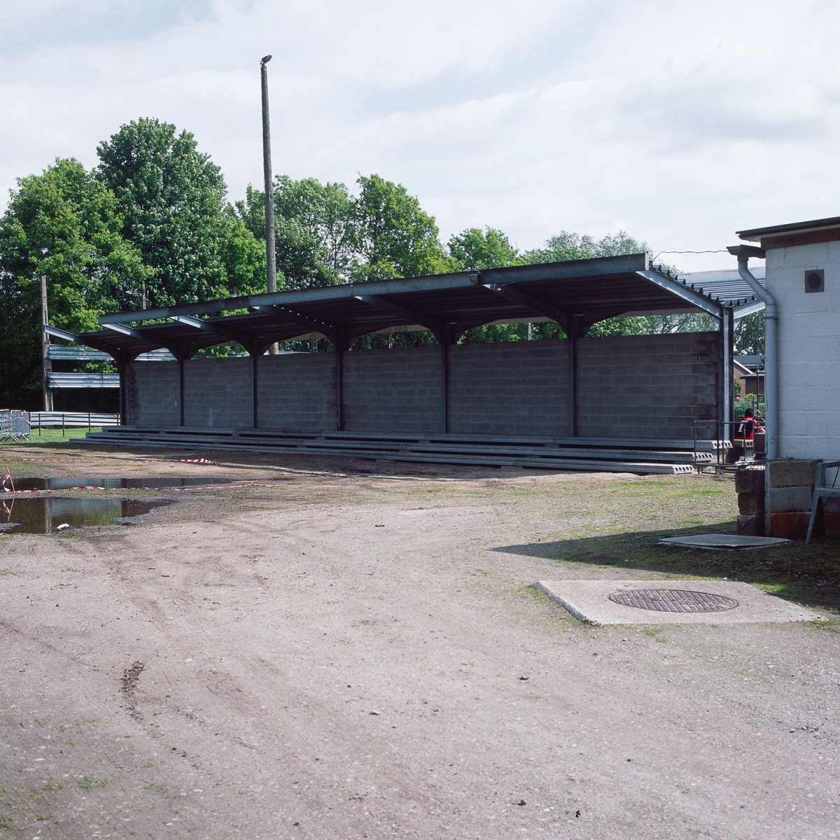
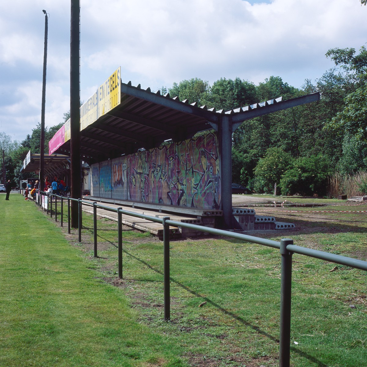
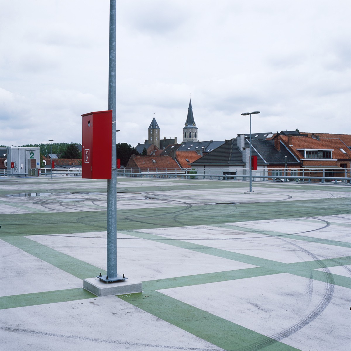
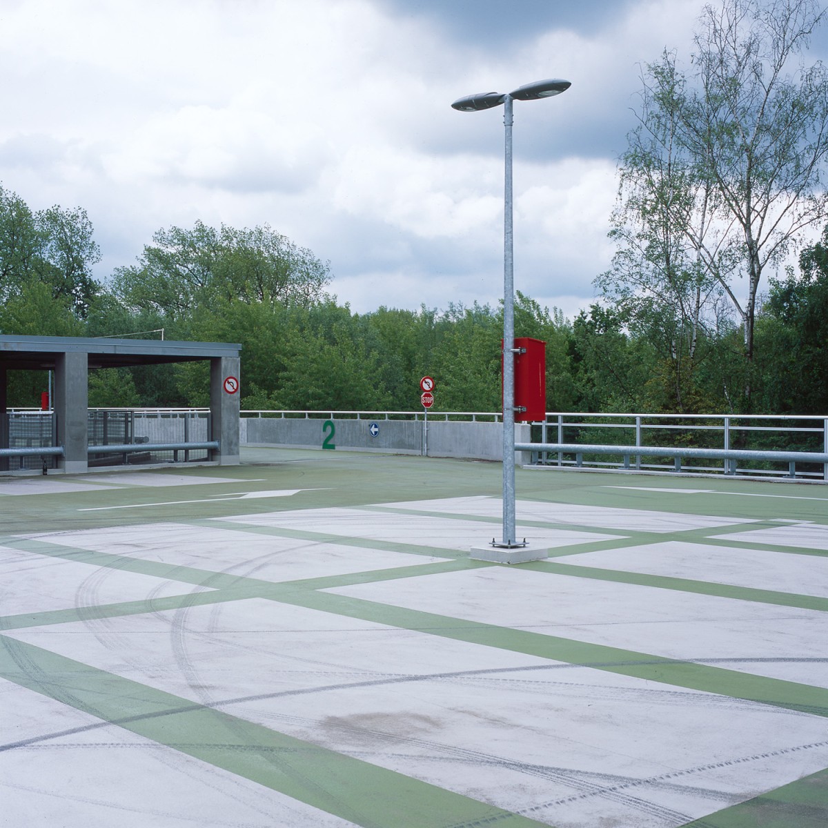
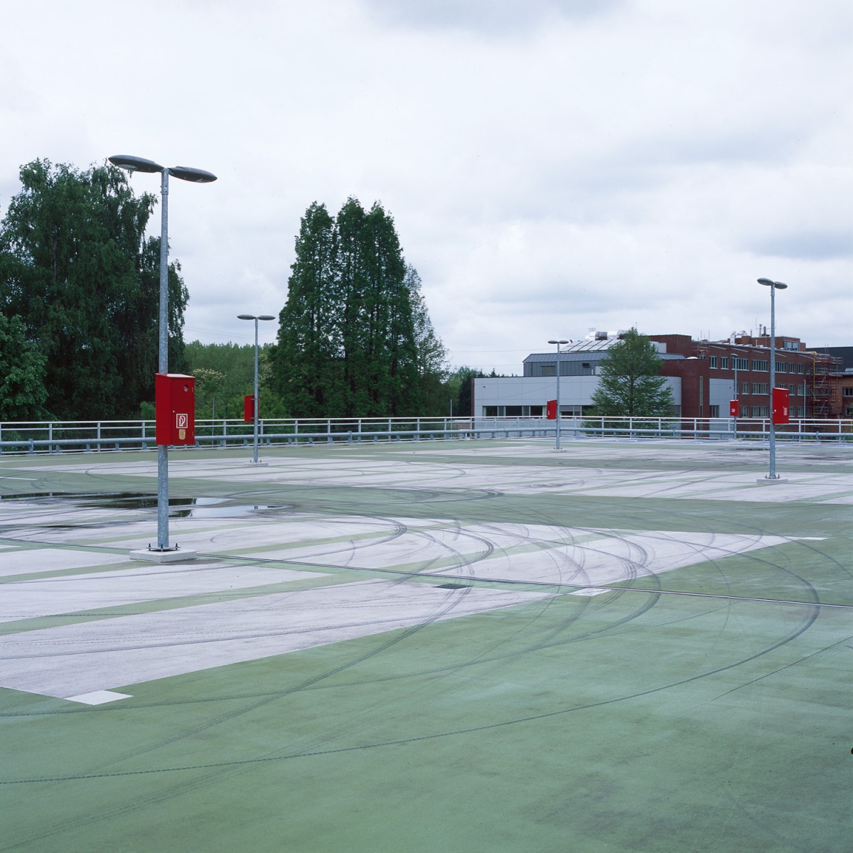
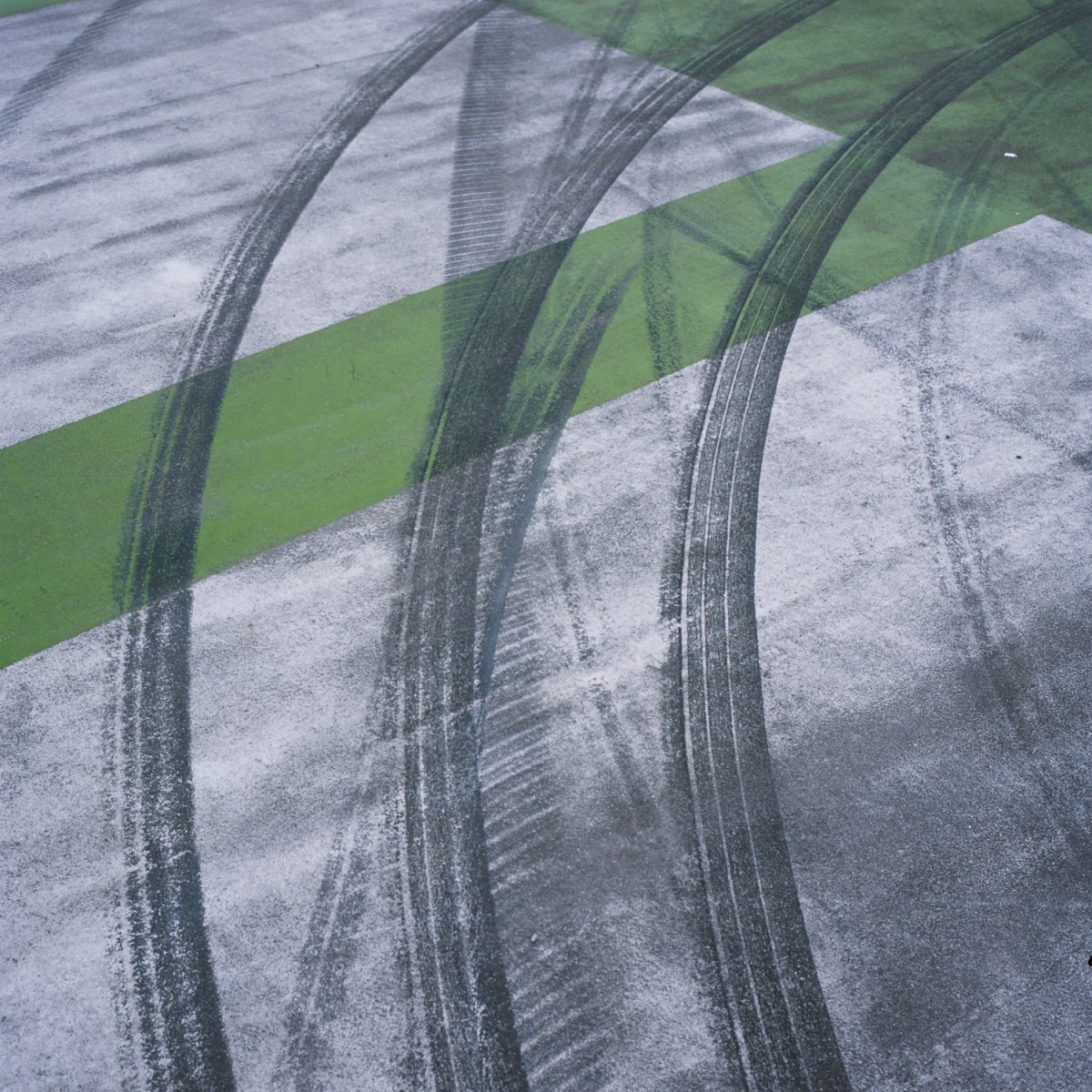
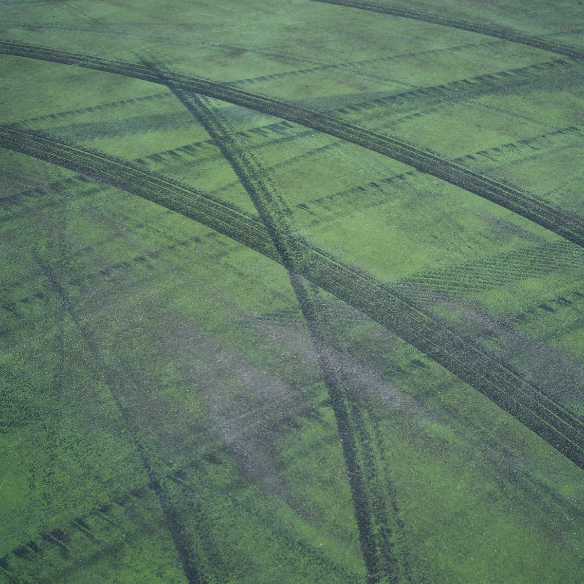
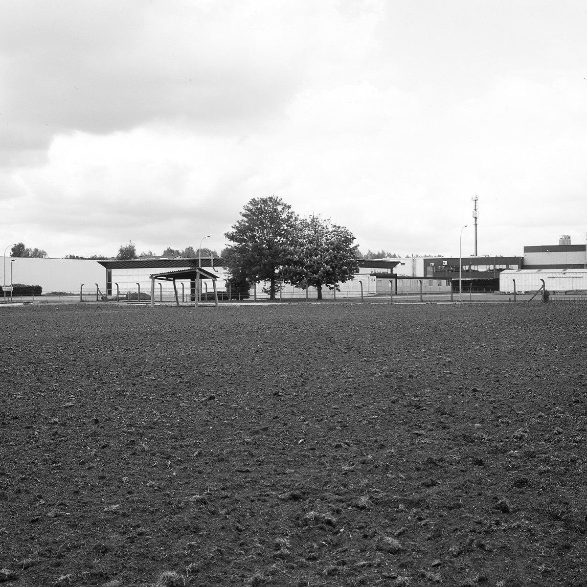
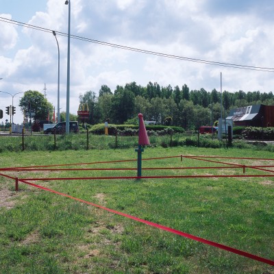
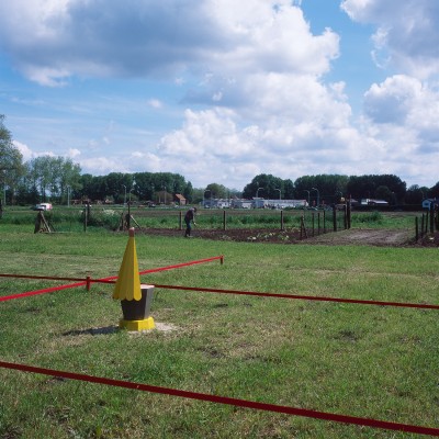
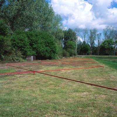
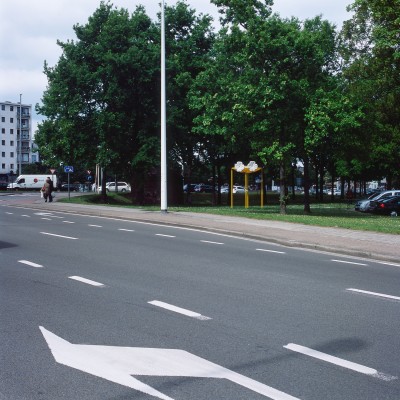
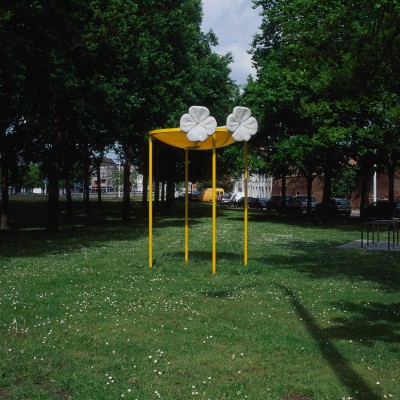
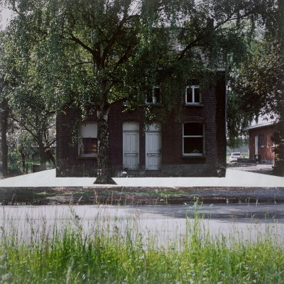
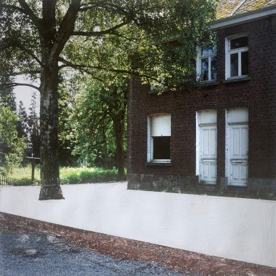
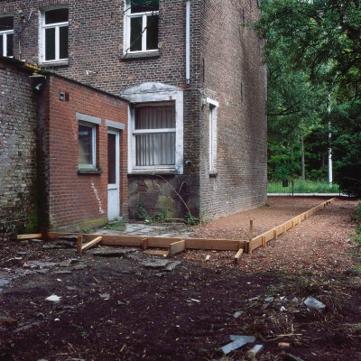
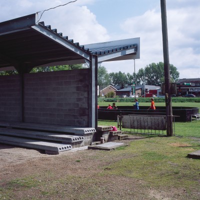
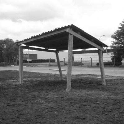
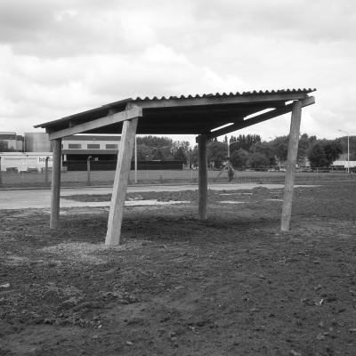
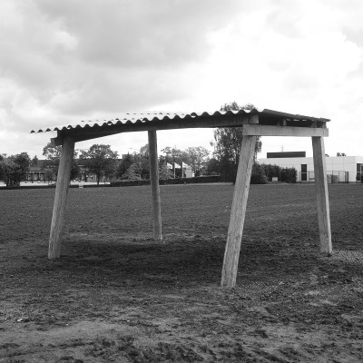
Photographic documentation of 6 art and architecture projects in the public space along the N16.
2013


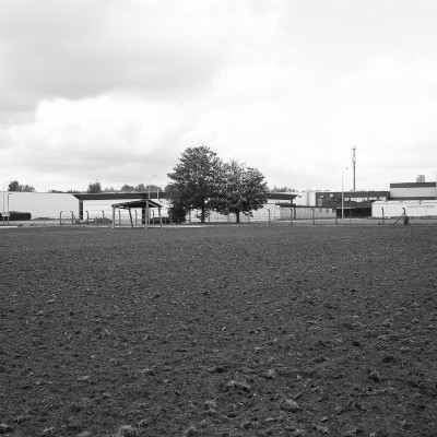
This book explores the boundaries and possibilities of the public space along the N16 regional road on the basis of four essays. The N16 crosses what we can safely call the heart of the Flemish misty landscape. Four municipalities: Bornem, Puurs, Willebroek and Mechelen, all situated in the province of Antwerp, are connected by the N16. This road winds through an area that is almost exemplary for large parts of Flanders: rural area, a picturesque residential center flanked without any effort by manifest road infrastructure, industrial area, an impoverished residential area. But the 'white village' and the 'coloured' street are also represented in it. It seems like an organically growing whole where more and more people live, work, pass, relax.
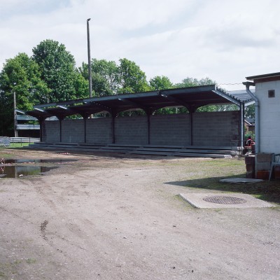
Route N16 – Public Places for Private Experience is an exhibition project and a pragmatic research that explores the boundaries and potentiality(s) of the public space along the N16. For this, contemporary architecture and art are assigned to each other. Six teams were asked to create a work for a specific place on the route: Philippe Vander Maren with Richard Venlet, Robbrecht en Daem with Valerie Mannaerts, De Vylder Vinck Taillieu with Sarah and Charles, Tractor, Uaps with Wesley Meurs, and Office Kersten Geers and David Van Severen with Michael Van den Abeele.
Cartographic research was carried out on contemporary art and architecture along the N16 on behalf of the Flemish Architecture Institute and the municipalities of Bornem, Puurs, Willebroek and Mechelen. New forms of urbanity were revealed in close contact with all kinds of passers-by and passengers. How can the via / route concept be both an innovative analysis tool and a planning tool?
Thanks to the concept of the route, we see a connection between spaces that are not physically connected. How can routes offer a different view, such as on a banal road in Flanders? What potential can be seen by mapping new forms of urbanity in these parts of the nebular city of Flanders? The map results were shown at the Meetingpoint De Garage exhibition in Mechelen.
Depicting the process of thinking and designing is just as important as showing the final designs along the N16 motorway. This book is the materialization of that. It has deliberately not become an exhibition catalogue, but a work in itself. Each time, a different light is shed on the content of this project on the basis of four essays. The report of the project can be a necessary addition to the earlier scientific publications that have appeared about the public space in the nebula city. The publication thus has the opportunity to feed thinking about the status of public space in a much larger area from a concrete reason – working on one road in the middle of the Flemish diamond.
This book is the result of a collaboration between the Flemish Architecture Institute and the four commissioning culture and community centers of Bornem, Puurs, Willebroek and Mechelen.